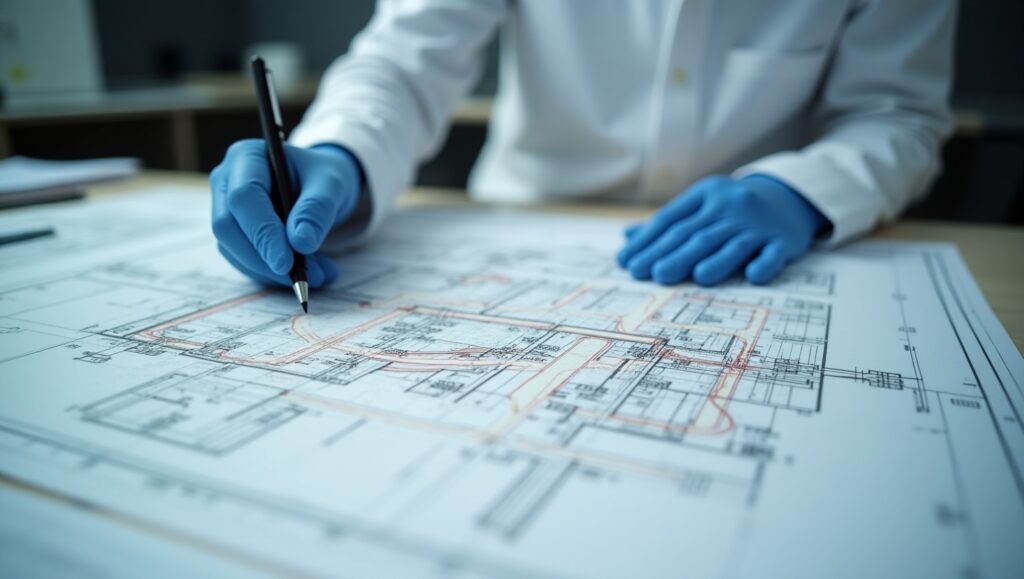
FORENSIC PLANIMETRY "PLANIFORENSE"
The Planimetry Hotbed Forensic named «PLANIFORENSE» It is established as a space for study and practical application dedicated to the analysis and interpretation of plans and maps in the field of criminal investigation and public safety. In a context where planimetry plays a fundamental role in the recreation crime scenes and the development of security strategies, this training center is presented as a place to develop technical and scientific skills in the interpretation of graphic representations of the terrain.

It is comprised of students interested in criminal investigation and citizen security. Its objective is to contribute to the development of skills in the field of planimetry, train future experts in map and plan analysis, and promote effective and ethical investigative practices in the use of cartographic tools.
"PLANIFORENSE" PLANIMETRY
Principles of Cartography: The incubator aims to provide theoretical and practical training in the interpretation of topographic, urban and cadastral plans and maps. Through practical exercises and case studies, participants will acquire skills to analyze and understand the information represented in different types of cartography, thus facilitating the reconstruction of crime scenes and the planning of security operations.
Skill Development in Cartographic Analysis: The incubator seeks to develop skills in the analysis of maps and plans in the context of criminal investigation and public safety. Participants will learn to identify relevant elements on maps, such as points of interest, escape routes and risk areas, and use this information to develop prevention and response strategies in criminal situations.
Application of Technology in Forensic Planimetry: One of the main objectives of the workshop is to familiarize participants with the use of cartographic technology and Geography of Information Systems (GIS) tools in planimetry. Through practical exercises and specialized workshops, the use of software and cartographic applications for the preparation of thematic maps and spatial analysis of criminal phenomena will be promoted.
FORENSIC PLANIMETRY "PLANIFORENSE"
The Forensic Planimetry Seedbed: «PLANIFORENSE» It is based on solid conceptual and theoretical bases in the field of cartography, which include:
1. Definition and object of forensic planimetry:
Forensic planimetry is the criminalistics discipline that deals with the graphic and metric representation of a place, object, or element related to an investigated event, through sketches, plans, or diagrams. Its main objective is to accurately document dimensions, distances, positions, and spatial relationships so that they can be interpreted by experts, judicial authorities, and other involved professionals.
2. Technical and regulatory principles of forensic planimetry:
Forensic planimetry is based on the principles of accuracy, clarity, and proportionality, as well as compliance with current technical protocols and regulations, such as ISO 17020 for inspections and the technical guidelines of the Institute of Legal Medicine and Forensic Sciences. These regulations seek to ensure that planimetric representation is reliable, reproducible, and acceptable as evidence in judicial proceedings.
3. Tools and methods of planimetric survey:
The discipline employs a variety of measuring and recording instruments, from traditional tools such as tape measures and scales to advanced technologies such as total stations, 3D laser scanners, and photogrammetric drones. The choice of method depends on factors such as the type of scene, the size of the area, environmental conditions, and the level of detail required. The correct use of these tools is essential to ensure the reliability of the planimetric evidence.

THAT ARE IN EXECUTION
PROJECT TITLE | TEACHER MENTOR | CAMPUS |
The planimetric expert in environmental crimes | Gabriel Caco | chitre |
Analysis of Digital Evidence in Cyber Fraud Cases in Panama | cintia linares | La Chorrera |
Perception of forensic fingerprint experts regarding the signature point examination system used in Panama | cintia linares | La Chorrera |
Relationship between cadaveric signs and temperature to estimate the postmortem interval | cintia linares | La Chorrera |
Forensic planimetry in cases of missing persons: application in the search and location of clandestine graves through the use of maps and geospatial coordinates in forensic investigations. | cintia linares | La Chorrera |
The challenge in the field of forensic computing with complex systems. | cintia linares | La Chorrera |
Analysis of the functionality of ISO 17020 and AR 3120 in criminalistics and forensic sciences. | cintia linares | La Chorrera |
Methodology and equipment applied in Spain in the reconstruction and illustration of crime scenes | cintia linares | Panama |
MENTOR TEACHERS OF THE SEEDBED:
Lead teacher
Cintia Linares (Panama and La Chorrera headquarters)

BASE BIBLIOGRAPHY
- Chávez, E. (2020). "Development of thematic maps for the identification of critical risk areas: Application in public safety." Journal of Security Studies, 7(1), 60-73.
- Gómez, AB (2019). «Cartographic technology and its application in public safety». Journal of Applied Geoinformatics, 12(1), 102-115.
- González, FR (2018). "The role of GIS in the management of citizen security: Case study in an urban city." Journal of Social and Applied Sciences, 4(1), 65-78.
Herrera, J.M. (2020). - «Applications of Geography of Information Systems in forensic planimetry». Journal of Applied Geography, 15(2), 88-101.
- López, AC (2019). «Analysis of precision and accuracy in the interpretation of topographic maps». Journal of Cartography and Geodesy, 6(1), 75-88.
- Martínez, LF (2018). "The use of drones in capturing geospatial information for cartographic analysis." Journal of Geospatial Technology, 5(1), 32-45.
- Pérez, JA (2019). "Cartography as a tool for decision-making in risk management." Journal of Natural Risk Management, 6(2), 42-55.
- Pérez, R. (2020). «Applications of planimetry in the reconstruction of crime scenes». Journal of Criminal Investigation, 7(2), 45-58.
- Rivera, D.P. (2021). "Importance of planimetry in urban planning and territorial development." Journal of Local and Territorial Development, 9(2), 30-43.
- Rodríguez, EM (2021). "Basic principles of cartography: Fundamentals for map interpretation." Journal of Geospatial Sciences, 8(2), 78-91.

